
Heat warnings in place as sweltering week predicted for much of B.C.
Meteorologist says much of B.C. Interior could see mercury 5 to 8 C above normal during middle of the week


Environment and Climate Change Canada has issued heat warnings for much of the B.C. Interior, with forecasts calling for a ridge of high pressure that will bring elevated temperatures during the middle of the week.
Warnings for the Okanagan Valley, Fraser Canyon, South Thompson, Boundary and West Kootenay say that maximum temperatures are expected to hit between 35 C and 37 C between Tuesday and Thursday.
Meanwhile, the North Thompson, Cariboo, Prince George and Stuart-Nechako areas are expected to see temperatures between 29 C and 34 C, with overnight lows of around 14 C.
Matt Loney, a meteorologist with Environment Canada, said that the heat will peak on Wednesday and Thursday for most areas.
"We have a ridge of high pressure building in the upper atmosphere, and with a southerly flow that's going to feed in some warmer air from the south, from the United States," he told CBC News.
"And so temperatures are going to build as we head into the midweek portion."
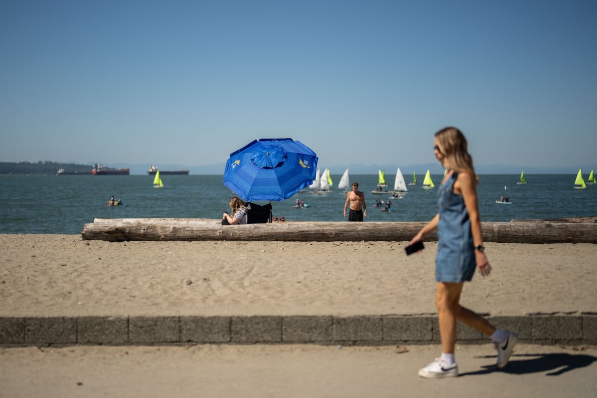
Loney said that elevated temperatures would also be seen in Metro Vancouver and Vancouver Island, but those areas will see temperatures 3 to 5 C above seasonal.
In much of the Interior, however, the temperatures are forecast to be 5 to 8 C above historical norms.

Loney advised anyone in areas under a heat warning to limit outdoor activities, keep hydrated and check on neighbours who may not be equipped to deal with the heat.
"We can kind of see the end of this with the upper ridge that's going to break down Thursday night into Friday," the meteorologist said.
"And so we'll see an influx of moisture, and potential for some thunderstorms, actually coming in with the end of this."
Loney said that the long-range forecasts for the upcoming B.C. Day-long weekend were unclear, but it's likely to be cloudier as an upper trough will be parked over the province.
The B.C. Wildfire Service said in a provincial situation report that above seasonal temperatures will be seen throughout B.C. this week, with the hottest areas set to be in the southern third of the province.
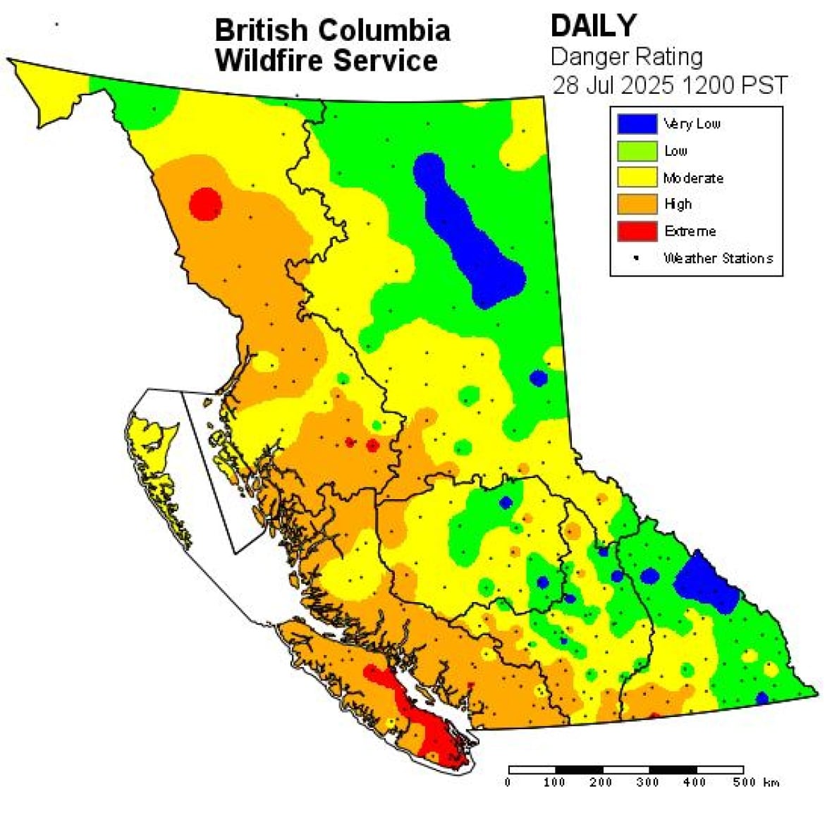
"In addition, there is a significant chance of dry lightning that could impact nearly all regions of the province throughout the week," the service says.
"This combination of rising temperatures, fuel drying and dry lightning increases the probability of new wildfires starting."
However, the report says winds are expected to remain light throughout the province.
Campfires remain banned in much of the South Coast, and larger Category 2 and Category 3 fires — which include larger stubble fires and large burn piles — are prohibited throughout B.C.
ABOUT THE AUTHOR

With files from Michelle Morton