
More hot, dry weather expected across B.C. this week
Heat, thunderstorms will lead to increased fire risk in some areas, B.C. Wildfire Service says


If you haven't already, now is a good time to pull fans out of the closet and close curtains and blinds — as it's going to be hot all across B.C. this week.
Environment Canada is forecasting up to 30 C in some parts of the province through the week, including for Kamloops and Kelowna. In Lytton — consistently one of the hottest places in Canada — daytime temperatures are expected to be in the low 30s until Saturday.
In the province's northwest, there's a chance of thundershowers on Tuesday, as highs reach up to 27 C on Thursday, the forecaster says.
Prince George, in central B.C., may see some thundershowers on Monday, followed by temperatures of 25 C on Tuesday and 24 C on Thursday. Environment Canada is forecasting a bit of a reprieve on Wednesday with a chance of showers and 21 C.

And while those numbers are somewhat normal for those areas at this time of year, Environment Canada meteorologist Matt Loney said the coast will experience heat above average this week.
"The way that the ridgeline is oriented, the coast is a bit more warm compared to normal," he told CBC's On the Island guest host Kathryn Marlow.
In Victoria, temperatures are forecast to soar into the high 20s until Friday. Up in Campbell River, Environment Canada is forecasting 31 C on Tuesday, and high 20s until Friday.
Temperatures in the mid to high 20s are forecast in Vancouver for Tuesday through until Friday. In the evening, Environment Canada doesn't expect temperatures to drop below 17 C.
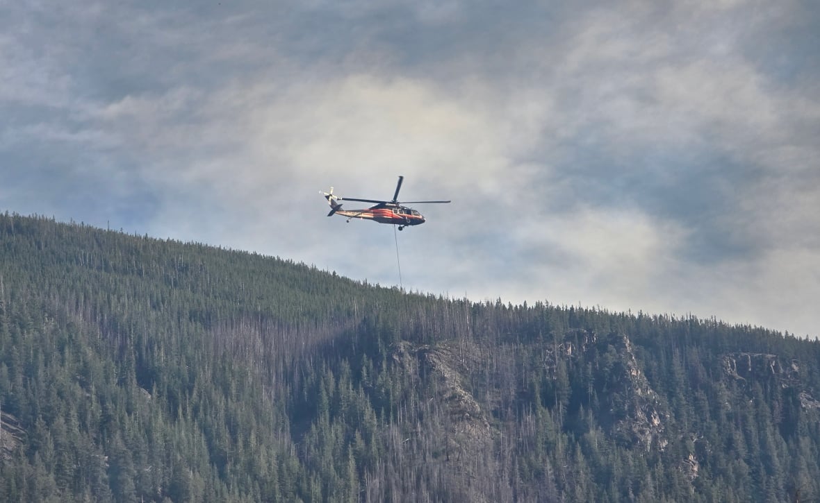
Increased fire risk
The B.C. Wildfire Service made note of the thunderstorms expected in B.C.'s Interior, in its Sunday provincial situation report, and said that combined with hot, dry conditions over the weekend, they will lead to even more aggressive fire behaviour.
Lightning is the leading cause of wildfires in B.C., the service said.
On Friday, the Coastal Fire Centre issued a bulletin about heat and wind over the weekend and into Wednesday.
It said moderate winds combined with warm temperatures and drying conditions could increase the potential for "aggressive" fire behaviour.
As of Monday morning, there are 71 wildfires burning in B.C., five of which started in the last 24 hours.
Hot week follows hot weekend
All this warm weather follows a weekend of heat records broken in B.C.'s Interior, where Nelson, Summerland and Trail all set historic daily highs.
On Sunday, Penticton recorded 39.1 C — breaking a record of 38.3 C set in 1930, according to Environment Canada.
Loney said Vancouver Island also saw temperatures well above normal.
"We had the temperatures in the mid to upper 20s, upper 20s closer inland I guess, and the lower-mid to lower 20s closer to the water. So yeah, it was quite warm."
ABOUT THE AUTHOR

With files from On The Island