
Air quality statements, warnings issued across northwestern Ontario due to wildfire smoke
Poor air quality expected to persist through Wednesday

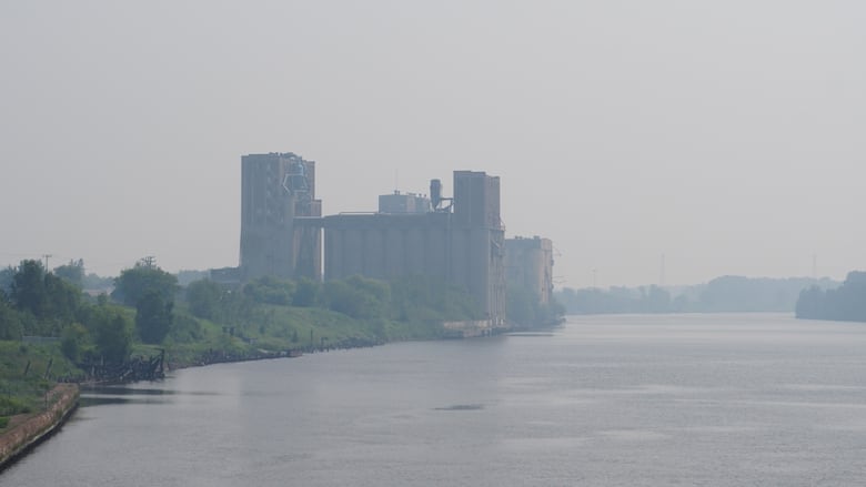
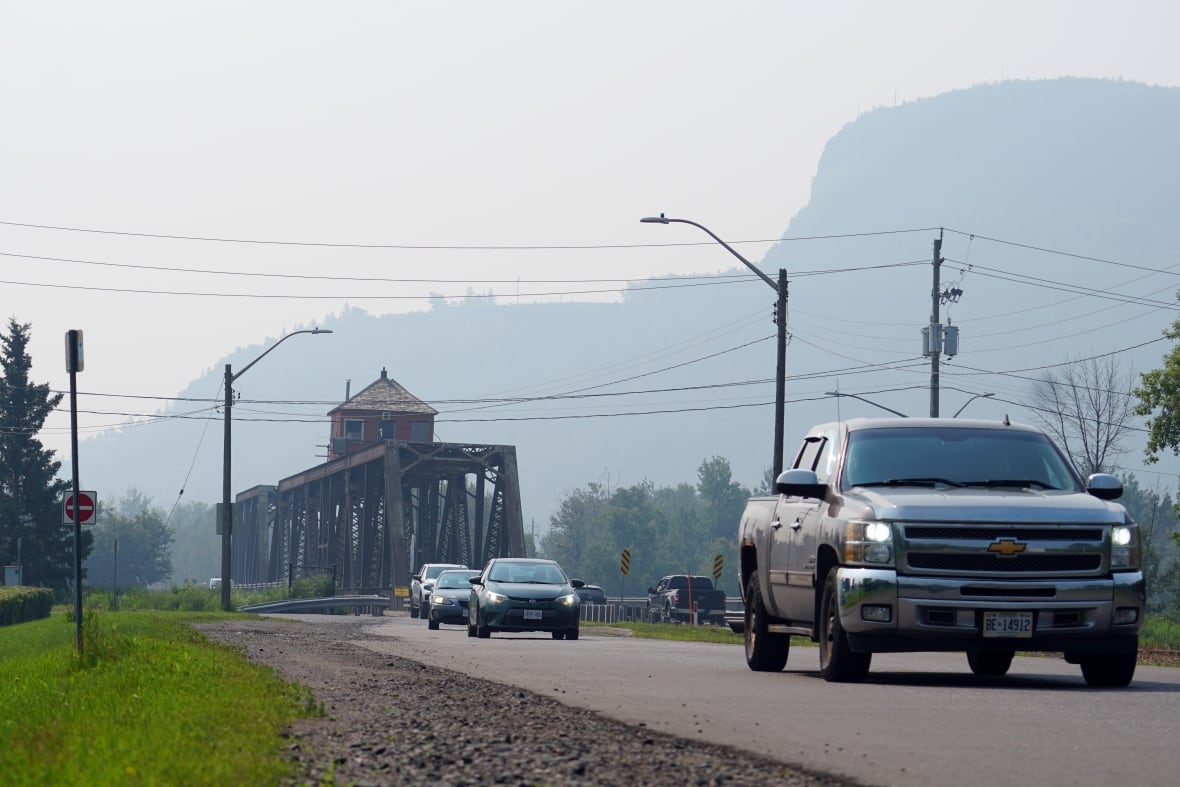
Much of northwestern Ontario is under air quality statements or more severe air quality warnings, as wildfire smoke from over the Prairies has moved into the region.
The statements range from Geraldton westward through the City of Thunder Bay, across to the Manitoba border.
"Poor air quality is expected to persist through Wednesday for most areas," Environment and Climate Change Canada says.
Communities under air quality warnings include:
- Dryden — Vermilion Bay.
- Ear Falls — Perrault Falls — Western Lac Seul.
- Fort Frances — Emo — Rainy River.
- Kenora — Grassy Narrows — Whitedog.
- Pickle Lake — Cat Lake.
- Pikangikum — Poplar Hill — MacDowell.
- Red Lake — Woodland Caribou Park.
- Sandy Lake — Weagamow Lake — Deer Lake.
- Sioux Lookout — Eastern Lac Seul.
- Sioux Narrows — Nestor Falls — Morson.
- Summer Beaver — Wunnummin Lake — Kingfisher Lake.
Common symptoms of poor air quality include eye, nose and throat irritation, headaches or a mild cough.
Those most at risk include people ages 65 and older, pregnant people, infants and young children, people with underlying health conditions, and those who work outdoors, Environment and Climate Change Canada says.
People are encouraged to consider rescheduling outdoor activities and keep their windows and doors closed as much as possible.
Pikangikum evacuees to return home
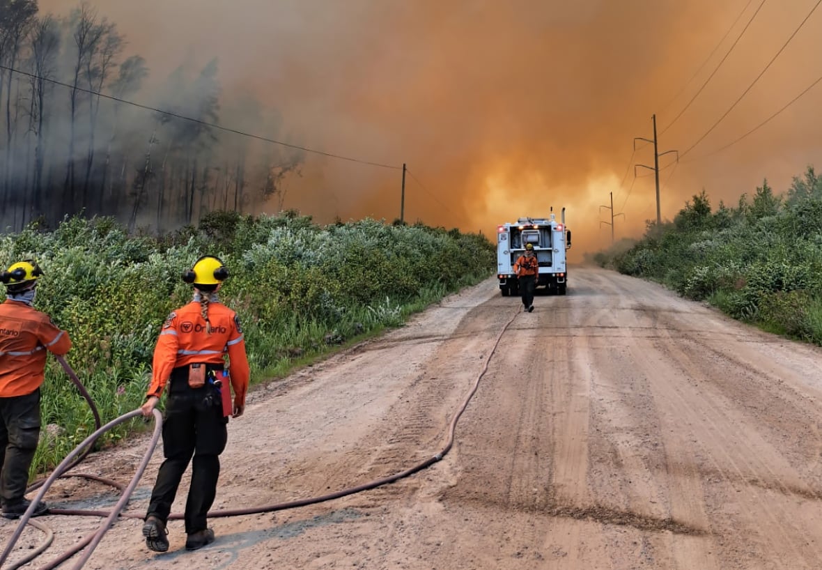
There are 54 wildfires burning across the northwest. Of these, seven are considered not under control.
Pikangikum First Nation, which initiated an evacuation of its most vulnerable members earlier this month, is beginning to repatriate people back to the community, chief and council posted on Facebook Monday. The wildfire near the remote Ojibway First Nation, Red Lake 62, is more than 33,000 hectares large.
"We know this evacuation — caused by RED 62 — has brought pain, uncertainty, and deep stress to every one of you. Being away from home, from our land and our people, has been incredibly difficult," the notice says.
"We acknowledge the emotional toll this crisis has taken on our elders, our youth, our families, and each of you who held on with strength in the face of fear."
In its latest update, Ontario Forest Fires says fire activity around Red Lake 62 remains low and that "demobilization of sprinkler systems is ongoing in areas where there is no longer a threat of fire."
The wildland fire hazard is mainly low across the southern portions of the region due to recent rainfall, besides an area of moderate to high hazard along the Fort Frances and southern Lake of the Woods area.
The far north portions of the Red Lake, Sioux Lookout and Nipigon fire management areas range from moderate to extreme hazard, Ontario Forest Fires says.
People can check the province's interactive forest fire map online for the latest information on fires closest to them.
ABOUT THE AUTHOR
