
Winter storm watch in effect for Thunder Bay area
Up to 30 cm possible this week, Environment Canada says
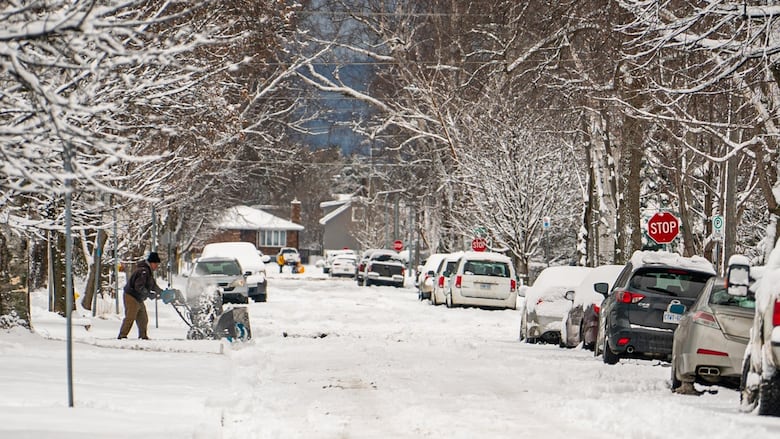
More snow, and lots of it, could be headed for Thunder Bay, Ont., this week.
Environment Canada has issued a winter storm watch for the Thunder Bay, Cloud Bay and Kakabeka Falls areas, where 20 to 30 centimetres of snow could fall later this week.
The snow is expected to begin Wednesday morning and last through to Thursday morning, Environment Canada said.
"The heaviest snowfall is expected Wednesday afternoon into Wednesday evening," the advisory reads. "Easterly winds gusting 50 to 60 km/h may result in local blowing snow, particularly for exposed areas downwind of Lake Superior. Winds are expected to ease Wednesday night. Snow will taper to flurries early Thursday morning."
Meanwhile, special weather statements have been issued for other parts of northwestern Ontario, where 10 to 20 centimetres of snow could fall in the same time period.
The statements are in effect for the:
- Armstrong
- Atikokan
- Beardmore
- Dryden
- Vermilion Bay
- Geraldon
- Longlac
- Igance
- Kenora
- Marathon
- Schreiber
- Nipigon
- Red Lake, and
- Sioux Lookout areas.
Environment Canada said snowfall warnings may be required for those areas as the storm draws nearer.